Reconstruction of the Great Wall

Requires a Wolfram Notebook System
Interact on desktop, mobile and cloud with the free Wolfram Player or other Wolfram Language products.
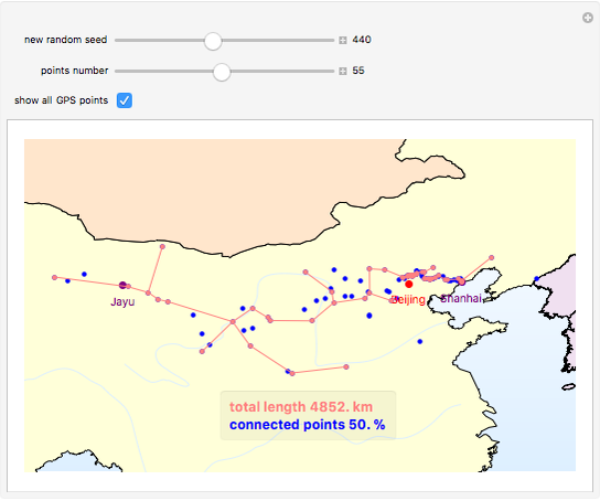
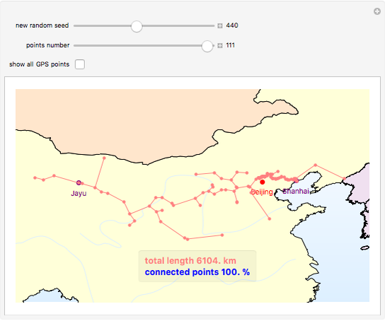
Historically, the Great Wall stretches over approximately 6,400 km in total from Shanhai pass in the east to Jayu pass in the west, along a rough arc.
[more]
Contributed by: Frederick Wu (March 2011)
Open content licensed under CC BY-NC-SA
Snapshots
Details
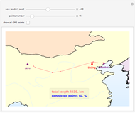
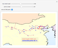
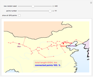
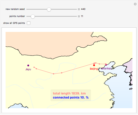
The graphics show randomly selected points connected using a minimum spanning tree by Kruskal's algorithm.
Snapshot 1: 11 random points (10% of the points) with a connected length of 1,839 km
Snapshot 2: 55 random points (50% of the points) with a connected length of 4,852 km
Snapshot 3: all 111 existing points (100% of the points) gives a total length of 6,104 km
The initial location data of the Great Wall is based on GPS coordinate points from Google Earth. Most of the existing GPS points are distributed to the north of Beijing.
For more details, see Chapter 6 of F. Wu, Manipulate@Mathematica, Beijing: Tsinghua, 2010.
Permanent Citation
"Reconstruction of the Great Wall"
http://demonstrations.wolfram.com/ReconstructionOfTheGreatWall/
Wolfram Demonstrations Project
Published: March 29 2011

