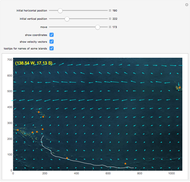
South Indian Ocean Currents, Flight MH370

Requires a Wolfram Notebook System
Interact on desktop, mobile and cloud with the free Wolfram Player or other Wolfram Language products.
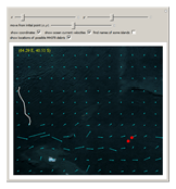
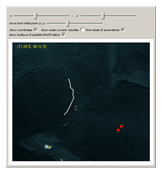
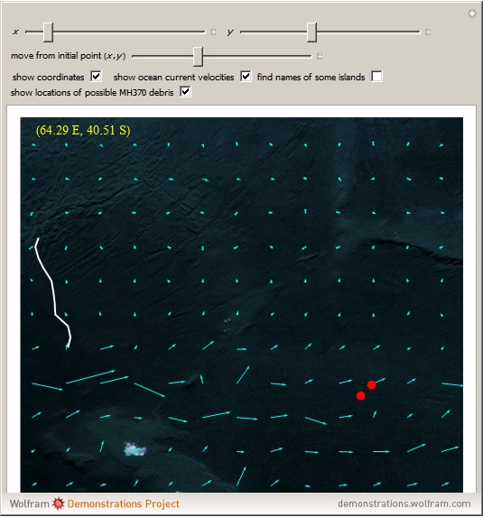
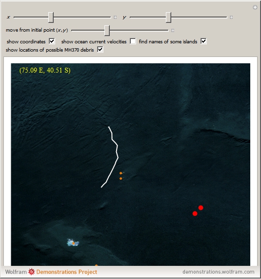
This Demonstration shows movements by south Indian Ocean currents. The region consists of 60°–100° E and 20°–54° S and was chosen because of the tragic MH370 flight.
Contributed by: Izidor Hafner (April 2014)
Open content licensed under CC BY-NC-SA
Snapshots

Details
The data is 21-year mean ocean surface currents taken from [1].
References
[1] OSCAR Project Office. "Data Download for Ocean Surface Currents." (Apr 21, 2014) www.oscar.noaa.gov/datadisplay/oscar_datadownload.php.
[2] Wikipedia. "Malaysia Airlines Flight 370." (Apr 21, 2014) en.wikipedia.org/wiki/Malaysia_Airlines_Flight _ 370.
Permanent Citation
"South Indian Ocean Currents, Flight MH370"
http://demonstrations.wolfram.com/SouthIndianOceanCurrentsFlightMH370/
Wolfram Demonstrations Project
Published: April 22 2014
 South Pacific Currents and Dispersion of Coconuts
Izidor Hafner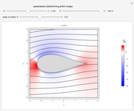 Joukowski Airfoil: Flow Field
Richard L. Fearn A 2D Flow Field
Megan Maguire Stokes Flow in Container with Concave Bottom
Brian G. Higgins, Housam Binous, and Ahmed Bellagi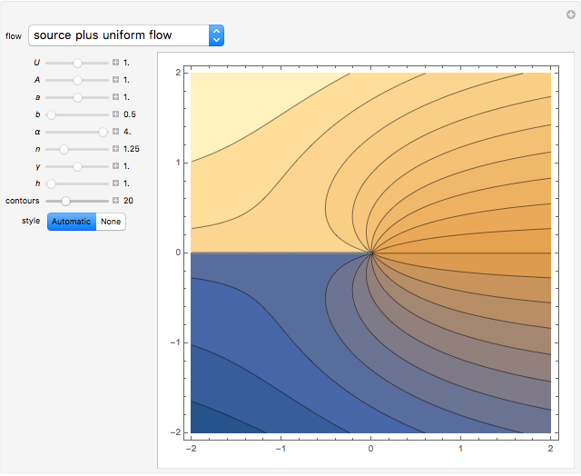 Potential Flows
Enrique Zeleny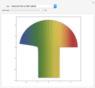 Potential Flows through Channels
Enrique Zeleny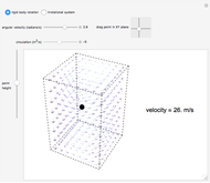 Fluid Velocity in Rigid Body Rotation and Irrotational Flow
Megan Maguire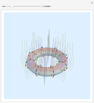 Vortex Rings
Enrique Zeleny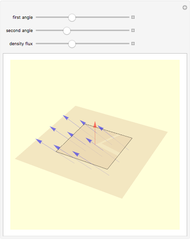 Flux
Flux
Enrique Zeleny Velocity Stream Lines from Superposition of Elementary Fluid Flows
Mikhail Dimitrov Mikhailov
-
 Area of a Polygon
Izidor Hafner -
 Pappus's Hexagons
Izidor Hafner -
 Freese's Dissection of a Regular Hexagon into Seven Hexagons
Izidor Hafner -
 A Construction of the Square Root of Seven
Izidor Hafner -
 The Apollonius Circle of a Triangle
Izidor Hafner -
 Freese's Dissection of a Regular Dodecagon into Six Squares
Izidor Hafner -
 Natural Language Neutral Symbolism in Propositional Logic
Izidor Hafner -
 Regressive Recursion
Izidor Hafner -
 Mazes on the Edges of a Polyhedron
Izidor Hafner -
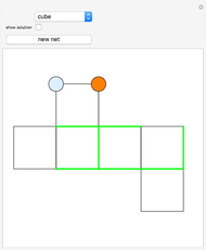
 Deduce the Net for a Die's Net
Izidor Hafner -
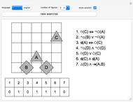
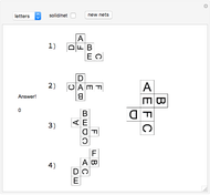
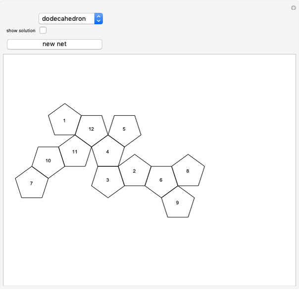 Test Your Spatial Visualization Abilities
Izidor Hafner -
 Op Art on Golden Rhombic Solids (II)
Izidor Hafner -
 Golden Rhombic Solids with Nets
Izidor Hafner -
 Sum of the Squares of the Sides of a Projected Regular Tetrahedron
Izidor Hafner -
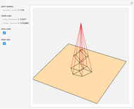 Perspective Projection of a Cube onto a Plane
Izidor Hafner -
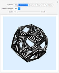 Op Art on Platonic Solids
Izidor Hafner -
 Rolling a Regular Dodecahedron on a Congruent Dodecahedron
Izidor Hafner -
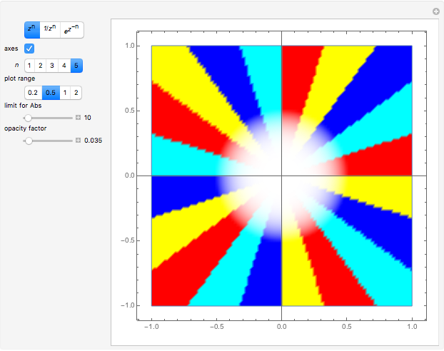 Zeros, Poles, and Essential Singularities
Izidor Hafner -
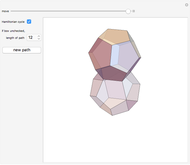
 Polyhedral Compounds
Izidor Hafner -
 Meissner Tetrahedra
Izidor Hafner